 NERC Data Catalogue Service
Energy
Type of resources
Available actions
Topics
Keywords
Contact for the resource
Provided by
Years
Formats
Representation types
Update frequencies
Service types
-
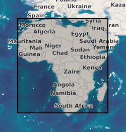
A geographic information system (GIS) containing geo-data for the energy transition across continental Africa created by extracting data from open sources into a series of shapefiles and rasters containing information on culture, geology, geothermal and geophysical data. This data is stored in the World Geodetic System (WGS) 1984 Geographic Projection System.
-
Carbon Capture and Storage (CCS) is a crucial technology to enable the decarbonisation of fossil fuel electricity generation. The UK has considerable potential for geological storage of CO2 under the North Sea and extensive offshore industry experience that could be applied. While initial storage is likely to be undertaken in depleted oil and gas fields, much larger saline aquifer formations are estimated to have sufficient capacity to securely contain 100 years of current UK fossil fuel power plant CO2 emissions. The CO2 Aquifer Storage Site Evaluation and Monitoring (CASSEM) project brings together the experience and different working practices of utilities, offshore operators, engineering contractors, and academic researchers to build collective understanding and develop expertise. CASSEM produced both new scientific knowledge and detailed insight into the CCS industry, developing best-value methods for the evaluation of saline aquifer formations for CO2 storage. Alongside work to assess the storage potential of two saline aquifer formations in close proximity to large coal power plant, CASSEM applied a novel Features, Events and Processes method to explore perceptions of risk in the work undertaken. This identified areas of industry and research community uncertainty and unfamiliarity to enable targeted investment of resource to reduce overall project risk. An openly accessible and flexible full chain (CO2 capture, transport and storage) costing model was developed allowing the CCS community to assess and explore overall costs. CASSEM's work also included the first use of citizen panels in the regions investigated for storage to assess public perception and educate the general public about CCS. CASSEM now plans to apply and further develop the methodologies established to test the viability of using a large offshore saline aquifer to store CO2 from multiple sources, leading to the proving of such a store by test injection of CO2.
-

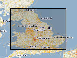
The British Geological Survey (BGS) in collaboration with the Environment Agency (EA) has developed a web-based tool that provides an indication of whether suitable conditions exist in a given area for Open-loop Ground Source Heat Pumps (GSHP). The tool is developed within a GIS and maps the potential for open-loop GSHP installations (heating/cooling output >100kW) in England and Wales at the 1:250,000 scale. Data layers from this tool are available to view in this service. The data in this service is available to access for free on the basis it is only used for your personal, teaching, and research purposes provided all are non-commercial in nature as described on http://www.bgs.ac.uk/about/copyright/non_commercial_use.html. Where commercial use is required, licences are available from the British Geological Survey (BGS). Your use of any information provided by the BGS is at your own risk. BGS gives no warranty, condition or representation as to the quality, accuracy or completeness of the information or its suitability for any use or purpose. All implied conditions relating to the quality or suitability of the information, and all liabilities arising from the supply of the information (including any liability arising in negligence) are excluded to the fullest extent permitted by law.
-
This dataset provides the first map and synthesis of the temperature of Britain's coalfields. It was created to support low-temperature heat recovery, cooling and storage schemes using mine water in abandoned workings. This baseline spatial mapping and synthesis of coalfield temperatures offers significant benefit to those planning, designing and regulating heat recovery and storage in Britain's abandoned coalfields. The data has been developed jointly by the Coal Authority and the British Geological Survey. It is delivered as a hexgrid representing mine water blocks, identifying equilibrium mine temperatures at 10 depth intervals (100m > 1000m) and pumped mine temperatures at 6 depth intervals (100m > 600m).