 NERC Data Catalogue Service
Rivers
Type of resources
Topics
Keywords
Contact for the resource
Provided by
Years
Formats
Representation types
Update frequencies
-
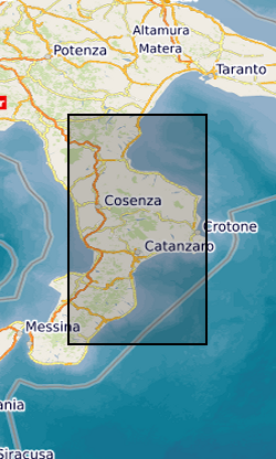
River elevation and catchment area data for major rivers in Calabria, Italy (one river profile in each file). Data were extracted from 1 arc second SRTM (Shuttle Radar Topography Mission) Digital Elevation Models using the Arc GIS hydrology toolbox between October 2015 and October 2019. These river profiles were acquired for fluvial inversion to calculate rock uplift in Calabria.
-
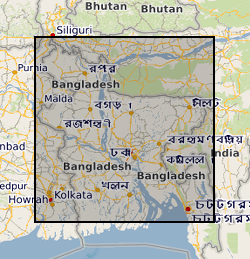
This dataset contains data from a river multibeam and seismic survey which took place in 2013 and 2014 at scour sites within the Brahmaputra river basin in Bangladesh. The survey was carried out as part of a joint project between the Universities of Birmingham, Southampton and Exeter. "The sedimentology of fluvial megascours" was a scientific research project funded by NERC. The purpose was to collect the data necessary to validate the first generic numerical model of scour zone stratigraphy that will be widely applicable to a broad range of large rivers. River bed bathymetry data were collected using a multibeam echosounder. Sub bottom seismic profiling data were collected using a surface tow boomer and chirp system. Technical details of the survey are contained in the cruise report of the survey which comprises part of the metadata. Some of the data has been accepted for a publication in the journal 'Sedimentology' which will be published in 2018 with the title 'The Sedimentology of channel confluences'.
-
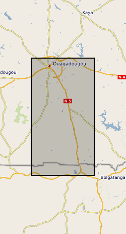
The datasets consist of soil moisture (hourly-weekly), river stage (1 min), and groundwater level (hourly) collected as part of the BRAVE project (NE/M008827/1 and NE/M008983/1) to understand the resilience of boreholes in low-yielding aquifers in the River Volta Basin to climate. The data were collected from physical observatories in Sanon (Burkina Faso) and Aniabisi (Ghana). Soil moisture data were logged hourly beneath contrasting land uses and roaming soil moisture surveys were also undertaken across a wider access tube array. River stage was monitored at the catchment outlet in Sanon and groundwater levels were measured in both catchments.
-
This dataset contains numerical model output of a morphodynamic and sedimentological simulation of a large river confluence based loosely on the Jamuna-Ganges junction in Bangladesh. The work was carried out as part of a joint project between the Universities of Birmingham, Southampton and Exeter. "The sedimentology of fluvial megascours" was a scientific research project funded by NERC. One aspect of the project was to undertake numerical simulations (the data described here) with which to compare with river bed bathymetry data (collected using a multibeam echosounder) and sub bottom seismic profiling data (collected using a surface tow boomer and chirp system). The data has been accepted for a publication in the journal 'Sedimentology' which will be published in 2018 with the title 'The Sedimentology of channel confluences'.
-
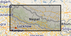
Cation, anion and Sr isotope data from Nepalese river water. Suspended sediment concentration, suspended sediment chemistry presented as wt% oxides from Nepalese rivers. Both the waters and sediments were collected following the 2015 earthquakes.
-
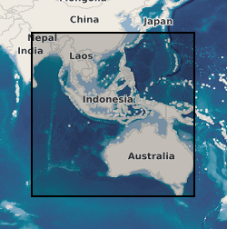
Paired water and river sediment samples were collected from Vietnam Australia, Cambodia and Nepal. Waters were analysed for major ions, Sr isotopes and Mg isotopes. Sediments were sequentially extracted using ammonium chloride, acetic acid and hydrochloric acid to target exchangeable ions, calcite and dolomite respectively. They were analysed for major ions and selected isotopes.